Oct
19
2011
Arizona Strip & Southern Utah Wanderings | Day 2
Sunday, October 2, 2011
After an awesome night camping under the stars in perfect weather near Little Black Mountain, we were up early, had a little breakfast and were soon on our way back into Utah. Our ultimate destination for the day would be Toroweap on the North Rim of the Grand Canyon, but we would have a lot of exploring to do on our way there.
After entering Utah again, we quickly found ourselves in Warner Valley. As we headed east, we took the short detour to Fort Pearce which is located along the old Honeymoon Trail.
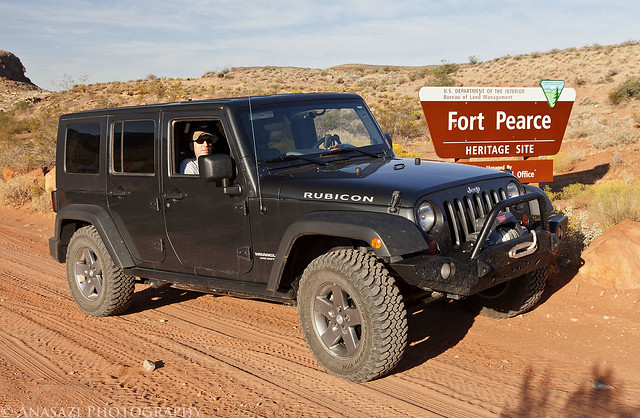
Fort Pearce Heritage Site by IntrepidXJ, on Flickr
Of course, our first objective at the site was to find the petroglyphs located near the fort. They were easy to find and the area offered a nice view.
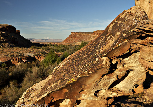
Fort Pearce Petroglyphs by IntrepidXJ, on Flickr
A closer look at the petroglyphs on the slanted boulder.
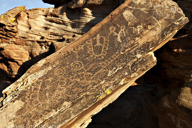
Fort Pearce Boulder by IntrepidXJ, on Flickr
Comments Off on Straddling the Border to Toroweap | posted in Adventures, Anasazi, Dinosaur Tracks, Hiking, History, National Parks & Monuments, Photography, Rock Art, Trip Reports
Sep
27
2011
Saturday, September 24, 2011
After staying up late on Friday night, Amanda and I slept in on Saturday morning. When we finally woke up (between 8am-9am- which is sleeping in for us), we had some breakfast and then headed down to the North Rim of the Black Canyon of the Gunnison National Park. We have visited the South Rim a few times before, but for some reason had neglected to visit the North Rim. We arrived shortly after lunchtime and hiked to all the overlooks along the North Rim Road. The lighting was bad during this time of the day, so I didn’t even bother to carry my camera with me. After visiting all the overlooks near the road, we took our time as we hiked the short loop that visited Chasm View near the campground.
We ended up finishing the hiking we had planned to do earlier than I had planned, so we still had plenty of time before sunset. We decided to head back into Crawford for some dinner at the Black Canyon Cafe before returning to the park for sunset.
North Rim Road
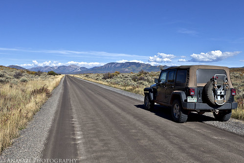
I took this photo as we left the park and headed back towards the West Elks and Crawford.
Needle Rock
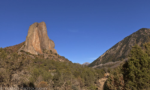
After dinner we took the short drive to visit Needle Rock since we had some extra time.
Black Canyon Sunset
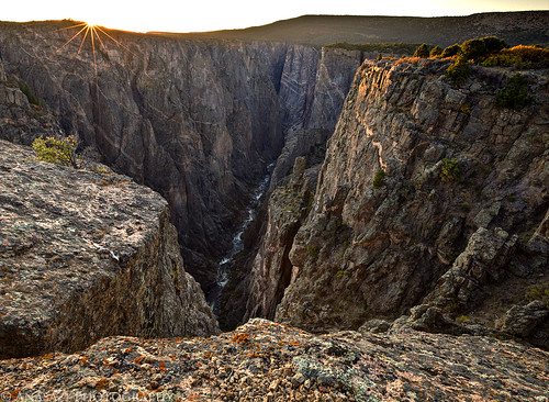
Catching the last rays of the sun over the Black Canyon.
Balanced Rock Overlook
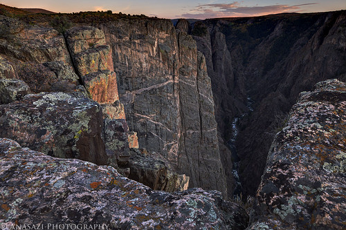
After the sun dipped below the horizon I turned around and took a few photos up-canyon.
Black Canyon Crack
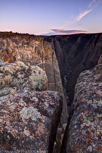
In order to get to the viewpoint I took the previous two photos from, I had to step over this crack in the rock next to the edge. It was a long way down. On my way back to the Jeep I decided to take a photo looking down through the crack.
3 comments | posted in Adventures, Hiking, National Parks & Monuments, Photography, Trip Reports
Sep
15
2011
September 10-11, 2011
The White Rim Trail seems to be the one I just can’t complete. I’ve been wanting to for years, but it just never seems to happen. The first big issue for me is getting a permit to camp along the trail (yes, I know I could probably get around the full trail in a day if I wanted, but I would prefer to enjoy it and not rush through it). I dislike planning my weekend trips too far in advance, so in the past I have always just never bothered to try to get a permit. Finally, last year I decided I really was going to try and get a permit so that I could drive the trail near the end of the year. Unfortunately, a storm managed to wash out the Mineral Bottom switchbacks making a complete loop impossible for a while. Once they repaired the switchbacks earlier this year I actually managed to reserve a permit for September. Who knew that the Green River would flood for much of the spring and summer and the road would again be closed? I was hoping Canyonlands would open the road right before our trip this last weekend, but thanks to anothe storm causing some damage to the switchbacks again on Friday, it just wasn’t in the cards this time. We decided to drive to our campsite at Murphy Hogback on Saturday and then drive back out the same way on Sunday. Even though we didn’t get to complete the full loop, we had a great time and am glad we still went. I guess there’s always next year to try again! On a side note, the park opened up the complete loop again on Tuesday…..we were just a few days too early….oh well!
Maybe you’ll be pleasantly surprised to find out that there is not going to be any rock art photos in this trip report! It was actually kind of nice to get back into taking photos of the landscape and my Jeep. Enjoy the photos!
Shafer Trail
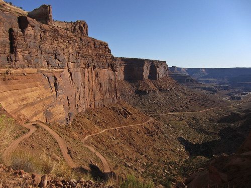
A few of the switchbacks on the Shafer Trail that take you down to the White Rim from the Island in the Sky.
Colorado River Overlook
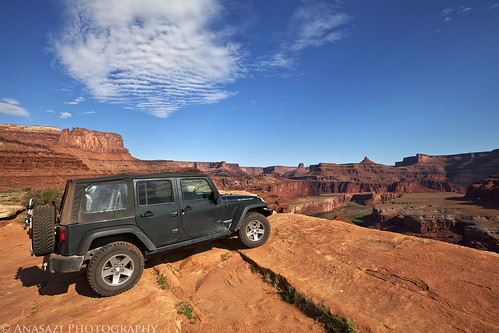
We stopped at the Colorado River Overlook across from the The Gooseneck.
White Rim Trail
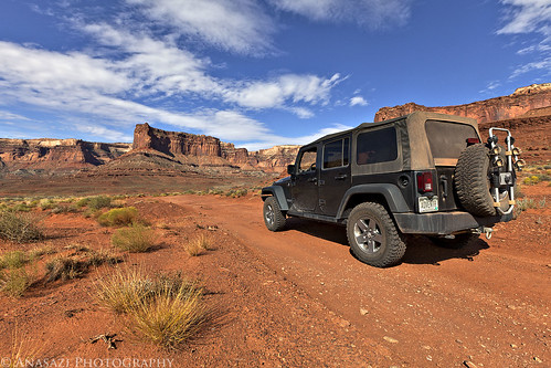
My Jeep on the White Rim Trail headed towards the Island in the Sky.
Descending Towards the Airport
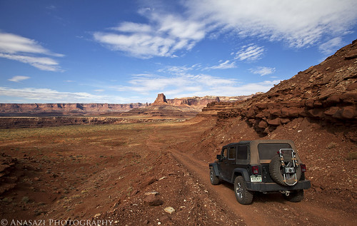
Following the road down towards Airport Tower.
Head of Lathrop
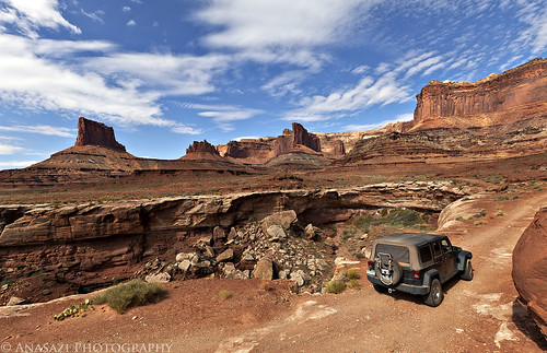
This road would be much shorter if it didn’t have to avoid many deep canyons along the route. Here it loops around the head of Lathrop Canyon.
Colorado River
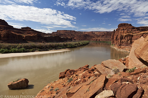
We took the side trip down Lathrop Canyon to the Colorado River. We saw no one on the river while we were there. I’d love to float this section of the river in the future!
Lathrop Canyon Intersection
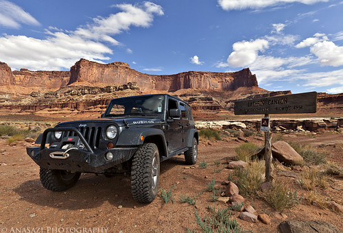
Back at the signed intersection for Lathrop Canyon and the White Rim.
On the Edge
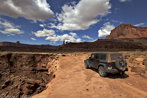
Skirting around another deep canyon cut into the White Rim. Washer Woman Arch and Monster Tower can be seen in the distance. We also spotted Mesa Arch from the trail (not visible in any photos I have posted) which looked tiny from below.
White Rim View
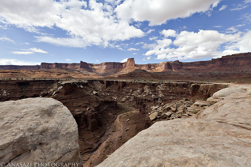
View down into a deep chasm with the Island in the Sky in the background.
Continue reading
2 comments | posted in Adventures, Camping, Hiking, National Parks & Monuments, Photography, Trip Reports
Sep
12
2011
Over the Labor Day weekend I decided to head down to the Needles District of Canyonlands National Park to revisit some rock art and to find some new panels. I explored a lot of the park in my Jeep and on foot. I drove over Elephant Hill a few times and I ended up camping just outside of the park in Bobbys Hole. I even found the time to take a quick side trip up into Beef Basin. Here’s some of my photos from the weekend…
Black Hands
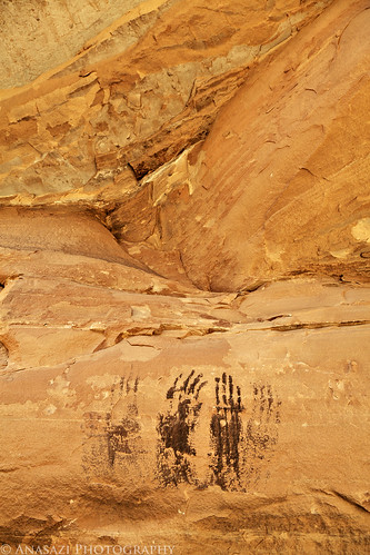
A few black handprints.
Devils Lane
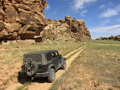
Driving through the Devils Lane.
Feet & Hands
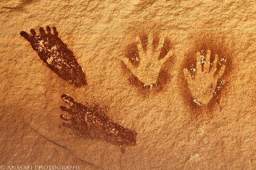
A small section of the SOB Hill Panel.
SOB Hands
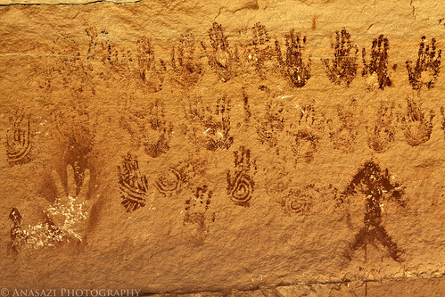
Many handprints of the SOB Hill Panel.
SOB Hill Panel
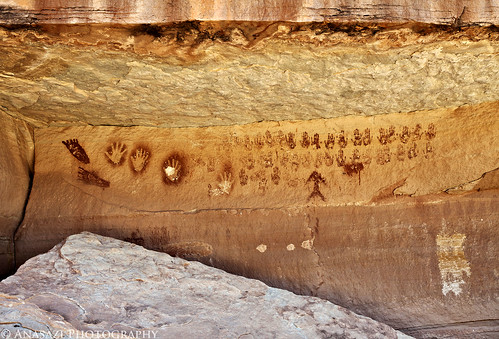
The full SOB Hill Panel.
Under Hands
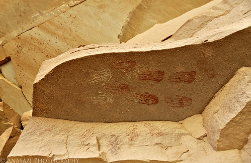
A couple more handprints under an overhanging rock.
Framed Handprints
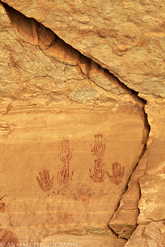
The Needles has no shortage of handprints!
Grabens Panelramic
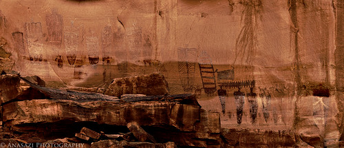
This was the main panel I was looking for this trip, which I did manage to find. It’s a tough one to get a good photo of, so here’s my attempt at bringing out the pictographs.
Grabens Panel Right
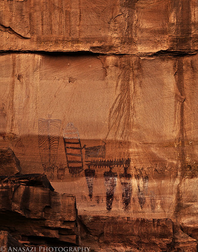
A closer look at the right side of the panel. Very interesting anthropomorphs.
Middle Park Granary B&W
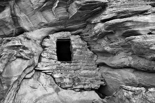
I got to revisit one of my favorite granaries in Beef Basin and took this shot in black & white.
Continue reading
Comments Off on Labor Day Weekend in the Needles | posted in Adventures, Anasazi, Barrier Canyon Style, Hiking, National Parks & Monuments, Photography, Rock Art, Trip Reports
Aug
15
2011
August 8-10, 2011
Last Sunday I headed out to the Front Range area so I could do a little exploring. After getting caught in traffic on I-70 that turned the 4 hour drive into a 7 hour drive, I met up with Amanda and her family at the hotel they had reserved for a few days. We spent Monday at Rocky Mountain National Park, which was actually my first visit to that park. I started out with a drive up the Old Fall River Road and then just checked out a few of the main views along the road with a few short hikes. It was a good way to get acquainted with the park so that next time I can plan a little better.
Never Summer Mountains
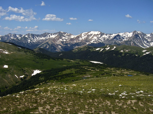
After driving up the Old Fall River Road to the Alpine Visitor Center I met up with Amanda and her family again. After taking in the views from the Visitor Center we continued on to the Gore Range Overlook with this nice view of the Never Summer Mountains.
Forest Canyon View
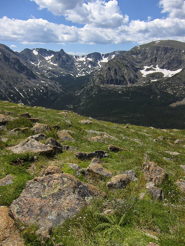
Next we traveled over Iceberg Pass on the Trail Ridge Road and stopped at the Forest Canyon viewpoint.
Bear Lake
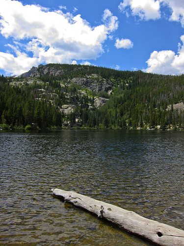
After stopping at a few more viewpoints along the way, we eventually made it to Bear Lake…..we even managed to find parking when we arrived!
Bear Lake B&W
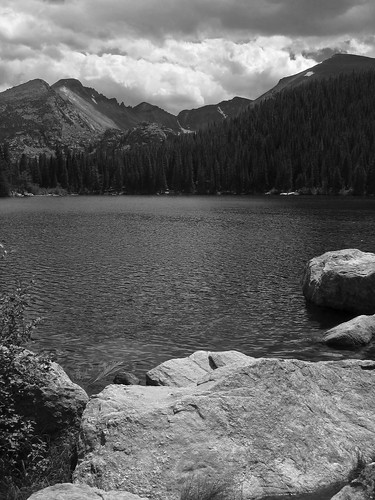
We took the easy stroll around the lake…this photo is from the opposite side. We stopped at a few more places along the way and then left the park to head back to the hotel. We took part of the Peak to Peak Highway back.
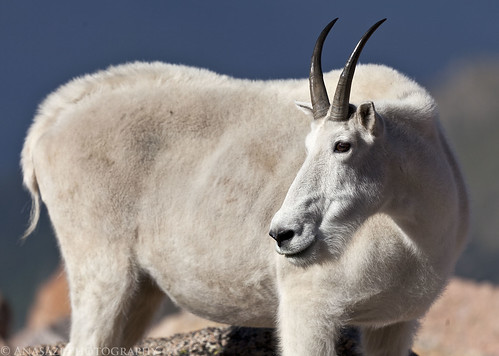
On Tuesday morning I left early and parted ways with Amanda and her family so that I could do some exploring on my own as I slowly headed back towards Grand Junction. My first stop of the day was driving to the top of Mount Evans so that I could bag my third 14er (and the second one in a week!). After completing that goal, I stopped to take a few photos of the many mountain goats just below the summit.
Bah-ah-ah
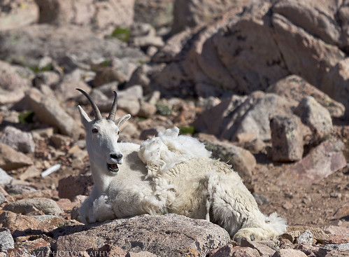
The Look
Cute Baby Goat
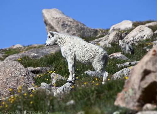
There were even a few baby goats around.
Continue reading
3 comments | posted in 14ers, Adventures, Hiking, National Parks & Monuments, Trip Reports, Wheeling Pictures


