Apr 24 2011

From the Maze to the Mesa | Day 4

The Maze and the Mesa (April 2011)


Day 4: From the Maze to the Mesa

Tuesday, April 12, 2011

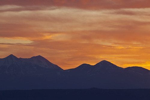
On our forth day Under the Ledge, we awoke to an awesome sunrise. The colors in the sky were just amazing! I quickly hopped out of my tent and grabed my camera for a photo. When I got my shot composed, I realized that I had taken the battery out the previous night to charge in the Jeep…and hadn’t replaced it! I ran back to the Jeep and grabbed the fully charged battery, but missed the best colors of the sunrise in the process. Here’s the shot I managed to get before all of the colors disappeared.

Color Over the La Sals

After the colors over the La Sal Mountains were gone, I turned around and took a few more early morning shots.

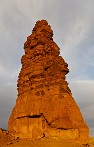
Standing Rock on Fire

Standing Rock bathed in golden early morning sunlight on our last day in the Land of Standing Rocks.


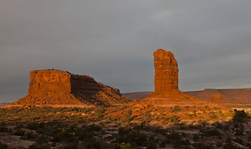
Lizard and The Plug
Lizard and The Plug

Lizard Rock and The Plug glowing in the early morning sunlight.


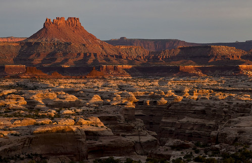
First Light
First Light

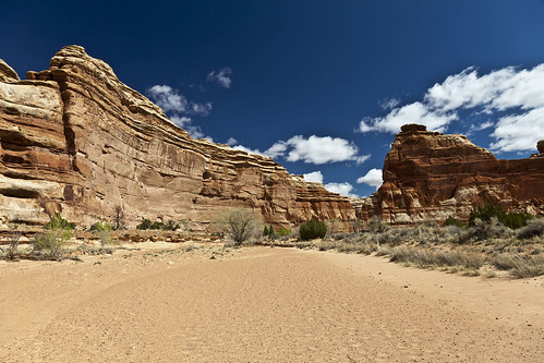
The first light of the day strikes Ekker Butte and the rims of the canyons that make up The Maze.


After sunrise we had some breakfast and packed up camp so that we could move on. We would have a long and full day ahead of us, since we would be leaving The Maze and heading to Cedar Mesa…but there would be plenty of stops along the way.

Before leaving The Maze we parked near Mother and Child Rock so that we could hike a little way into into Ernie’s country. We dropped down into Range Canyon so that we could visit Cedar Bark Ruin and Lou’s Spring.

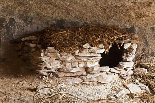
Cedar Bark Ruin
Cedar Bark Ruin

There has been some disagreement as to how old this ruin actually is, however, after seeing it in person, in my opinion, the ruin itself looks pretty old and not recently made, but the roof certainly looks newer, like someone may have added it. I’m no expert and these are just my impressions from my visit to the site.


Lous Spring Pictographs

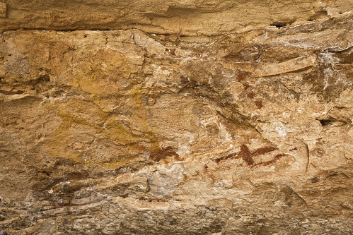
These very faint pictographs found on the ceiling of the alcove that contains Lou’s Spring kind of remind me of the one’s located across the Colorado River in Cave Spring in the Needles District.


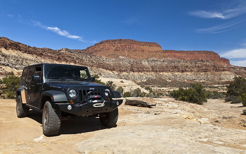
After reaching the Jeeps again, we finally started to head out around Teapot Canyon. Along the rough road we met some of Canyonland’s rangers in 4×4 training. We had to wait for a few minutes to let them pass. They were driving the roughest stretch of road in the park’s 4-door Jeep Rubicon Wrangler.

Leaving the Maze
Leaving the Maze

Just a photo of my Jeep as we head out of The Maze.
 

Continue reading


Apr 20 2011

Pictograph Fork & The Harvest Scene | Day 2

The Maze and the Mesa (April 2011)


Day 2: Pictograph Fork & The Harvest Scene

Sunday, April 10, 2011

Our second day started out cold with plenty of wind. None of us slept very well since the wind was noisy all night. After some breakfast we bundled up and started our hike down Pictograph Fork to check out the Harvest Scene pictographs.

Hiking Pictograph Fork

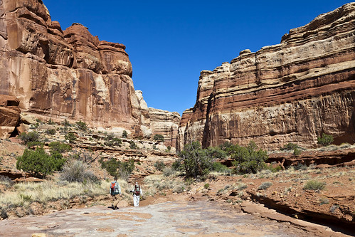
If you look closely you can see Dave and Jared in the canyon ahead of me as we hike towards Pictograph Fork.


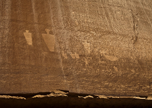
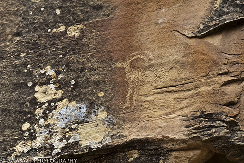
Along the way we stopped at a petroglyph panel.

Pictograph Fork Petroglyphs


Pictograph Fork Anthropomorphs


Then we continued on until we reached the Harvest Scene, which was one of my main reasons for going to The Maze this trip.

Near the Harvest Scene

The canyon near The Harvest Scene Panel.


The sun was shining on the panel and washing it out pretty good, but luckily there were a few puffy clouds in the sky that blocked the sun for a few minutes at a time so that I could try and take some decent photos of the panel.

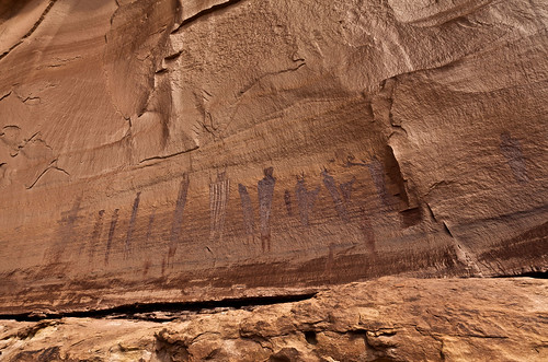
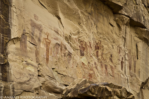
Harvest Scene Panel
Harvest Scene Panel

An overview of the Harvest Scene Pictograph Panel.


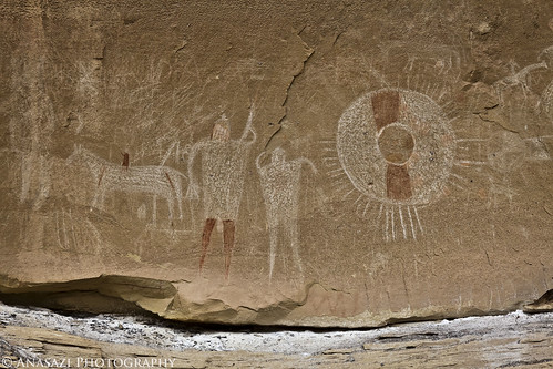
The Harvest Scene
The Harvest Scene

A closer look at the part of the panel that gives it the name ‘Harvest Scene’.


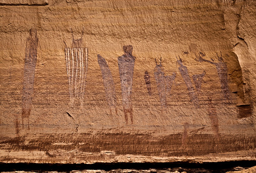
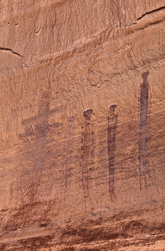
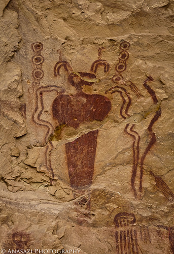
Tall, Skinny, & Elaborate

These figures found on the left side of the panel are very elaborately decorated.


Continue reading


Apr 5 2011

Rock Art & Bubbling Springs

Saturday & Sunday, April 2-3, 2011

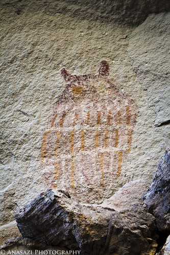
This last weekend I was invited to go camping near Green River with some friends from the Salt Lake area, so I decided to get out and take my first camping trip of the year since it has finally started to warm up a bit. On my way to meet up with them Saturday morning, I took a quick detour into the Book Cliffs to continue searching for the pictograph I had started to look for the previous weekend but had run out of time. Lucky for me, I was able to find it this time.
Book Cliffs Owl
Book Cliffs Owl

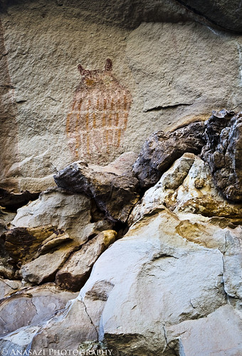
Perched Owl
Perched Owl

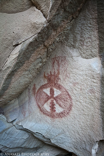
While out searching for the owl, I also came across this pictograph on a large boulder in the same canyon.

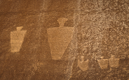
Horned Shield
Horned Shield

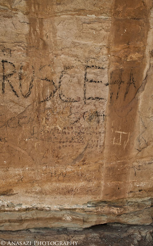
After the quick detour I continued on and met up with my friends off of the Ruby Ranch Road. I quickly setup camp and then we were off. They wanted to check out the Hidden Canyon area, so I led the way and we completed most of the 3D Trail. Along the way we stopped at the Tusher Tunnel, where I spent a little time searching for some rock art I heard might be near. I didn’t find the petroglyph I had seen a photo of, but I did find a faint Barrier Canyon Style pictograph near the exit of the tunnel. Unfortunately, many idiots feel the need to write their graffiti all over the sandstone near the tunnel and have over-written the pictograph.

Vandalized at Tusher Tunnel

If you look closely at the above photo you can see a bunch of faded red dots that appear to have decorated the torso of the large figure.

After finishing up the 3D Trail by visiting the Hidden Valley Overlook and Bartlett Overlook, we looped back to camp around Tombstone Rock and across Ten Mile Wash. It was still a bit early, so I took off on my own to find some ‘bubbling springs’ that my friend Marty had told me about. They were about 6 miles from our camp, and I had no trouble locating them.

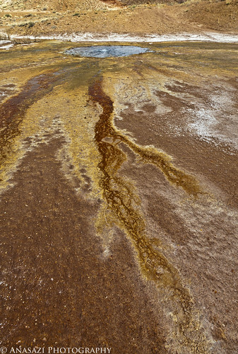
The highly mineralized water of the first bubbling spring created a colorful lightning bolt on the ground in the wash.

Bubbling Spring
Bubbling Spring

Liquid Lightning
Liquid Lightning

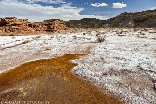
The following photo shows the scenery near the second bubbling spring I came across. This one wasn’t quite as photogenic as the first, but the surrounding landscape shows that this wash has really earned it’s name: Salt Wash

Winter Wonderland
Winter Wonderland

After some dinner back at camp, we had a little fun with some firearms before it got dark out. I got to fire my first fully-automatic weapon…..it was fun 🙂 Here’s a short video my friend Ryan made from the evening…

While the temperature all night never dropped below 50 degrees, which was nice, the wind blew hard all night! I didn’t sleep very well, as the went kept making a lot of noise. I ended up getting out of my tent around 7am and noticed a large dark storm cloud rolling in, so I quickly broke down camp so I didn’t have to do it in the rain. After talking with my friends and watching the weather, they decided to call it a day and start heading back up to SLC after breakfast. I was just about to head home, too, when I decided at the last minute to head towards Green River and search for a few petroglyph panels in Gray Canyon.

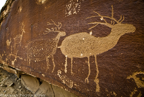
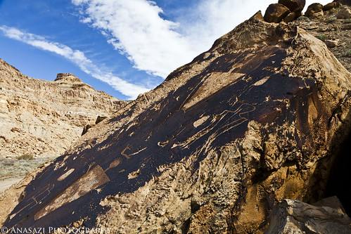
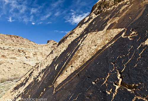
My first stop was the Nefertiti Petroglyph Panel near Nefertiti Rock along the Green River.

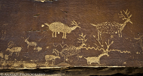
Nefertiti Elk
Nefertiti Elk

Nefertiti Petroglyphs

Next I found the petroglyphs near the Price River Junction. By the time I reached them, the sky had cleared up a little bit and I could see blue!

Price River Junction Petroglyphs

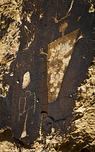
Price River Anthropomorph

The Mailbox
The Mailbox

Then I headed back to Green River to top off my gas tank before heading home. Even though the wind sucked, I still managed to have a good weekend camping with some friends.


Mar 28 2011

Short Trip to the Book Cliffs

Saturday, March 26, 2011

On Saturday, Jackson and I headed into Utah so that I could check on a geocache I hid last summer. After checking on the cache, we hiked around the rim of the canyon nearby.

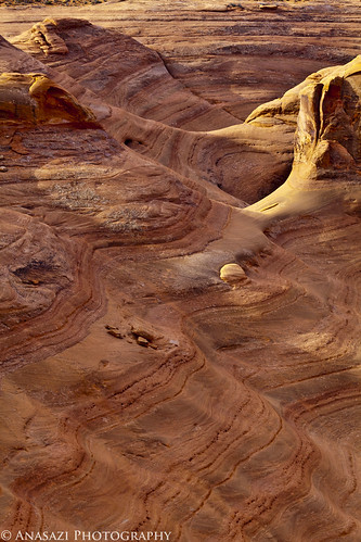
Wavy Sandstone
Wavy Sandstone

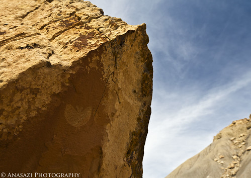
After some more hiking around and on Jug Rock, we headed north to the Book Cliffs in search of some petroglyphs….specifically The Butterfly, or bat, petroglyph. I had an idea on where it was located, but not an exact location. We searched the area for a little bit and managed to find it.

The Butterfly
The Butterfly

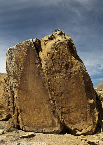
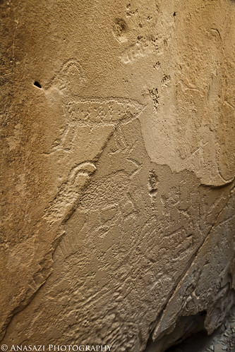
After finding The Butterfly, we searched the nearby boulders and found a bunch of other petroglyphs.

Book Cliff Boulder
Book Cliff Boulder

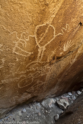
There was a small crack between two large boulders that I squeezed into, and inside there were a bunch of petroglyphs…

In the Crack
In the Crack

Sheep in the Crack
Sheep in the Crack

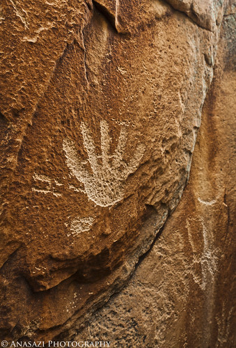
Another Hand
Another Hand

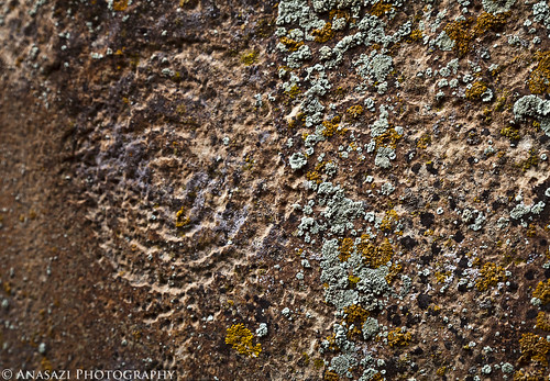
Lichen & Faint Spiral

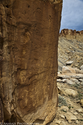
Another look at a boulder with many petroglyphs on it….

Book Cliff Boulder 2

When we were done searching the area I took Jackson over to the Sego Rock Art Site, since he had never been there. I’ve been here numerous times before, but not since I got my new camera, so I took a few photos while we were there.

Sego Canyon Pictographs

Sego Snake Man
Sego Snake Man

We searched the area and managed to find a petroglyph of a sheep I had not seen before.

Sego Sheep
Sego Sheep

Sego Snake
Sego Snake

Fremont petroglyphs over faint Barrier Canyon Style pictographs. Look closely above the petroglyphs…

Fremont Over Barrier

Sego Ute Shield
Sego Ute Shield

We had plans to find some more pictographs, and I headed to the area they were supposed to be in…..unfortunately, I took the long way and by the time we got there we had run out of time and had to head home. I know I will be returning to the Book Cliffs in search of more rock art this year 🙂


Mar 24 2011

Moab Area Rock Art IX

Sunday, March 20, 2011


Mill Creek Canyon

On Sunday I headed back to Moab and met up with Marty again. This time we spent a few hours hiking around Mill Creek Canyon and searching for more rock art. Marty showed me the petroglyphs he had found previously, but we also managed to find a number of new ones, too.

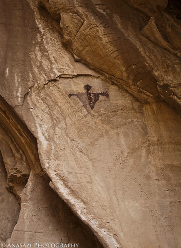
Small Mill Creek Pictograph

This was the first rock art we came across on the hike, and the only pictograph we would find all day.


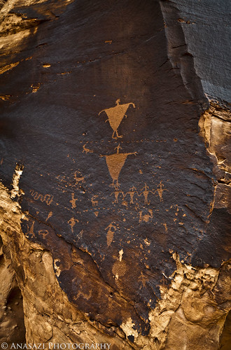
Four Arms Panel
Four Arms Panel

This was one of the better preserved and interesting panels we came across all day. The larger figure on top appears to have four arms.


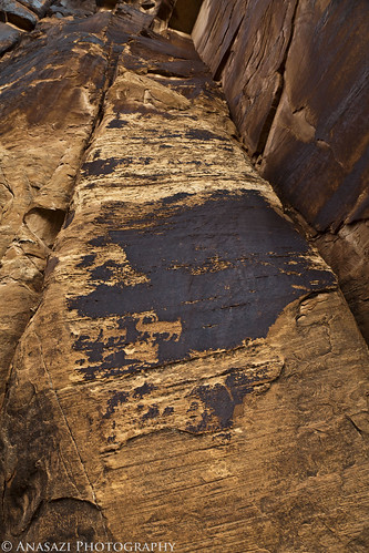
Disappearing Sheep
Disappearing Sheep

Can you find the sheep in this photo? The varnish they are carved into is disappearing.


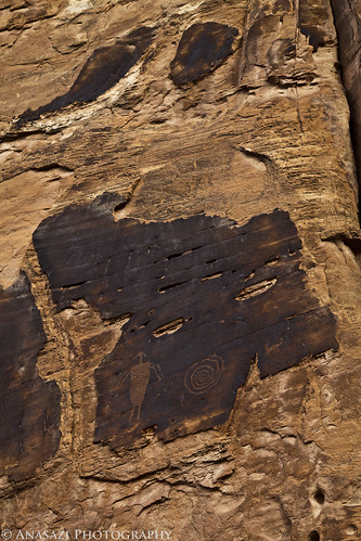
Spiral + Anthropomorph

Looking up at a patch of desert varnish that contains an anthropomorph and a spiral.


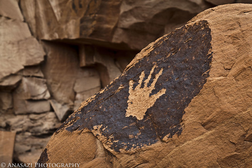
High Five
High Five

A petroglyph of a hand on a boulder.


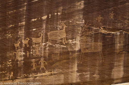
Big Elk & Sheep
Big Elk & Sheep

One of the larger panels featuring a large elk with a big rack and a number of bighorn sheep.


Holding Hands
Holding Hands

A line of small stick-figures holding hands.


Caterpillars
Caterpillars

This panel has three caterpillar-like figures.


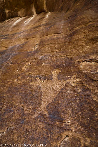
Open Arms
Open Arms

Looking up at a lone anthropomorph with outstretched arms.


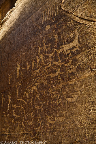
Opposite Panel
Opposite Panel

This large petroglyph panel was on the opposite side of the canyon.


Small Falls
Small Falls

Small water falls in Mill Creek.


It was another great day searching out rock art 🙂


Check out my other posts in the Moab Area Rock Art Series:

Moab Area Rock Art I | Colorado River Gorge / Golf Course / Kane Creek
Moab Area Rock Art II | Kane Creek Canyon & Potash Road
Moab Area Rock Art III | Mill Creek Canyon / Kane Creek / Bartlett Panel
Moab Area Rock Art IV | The Secret Grotto & More
Moab Area Rock Art V | Hidden Valley & Behind the Rocks
Moab Area Rock Art VI | Yellow Comet Alcove
Moab Area Rock Art VII | Solstice Snake
Moab Area Rock Art VIII | Dark Angel Petroglyphs
Moab Area Rock Art IX | Mill Creek Canyon