Aug
20
2008
 Beaver Basin (Moab, UT)
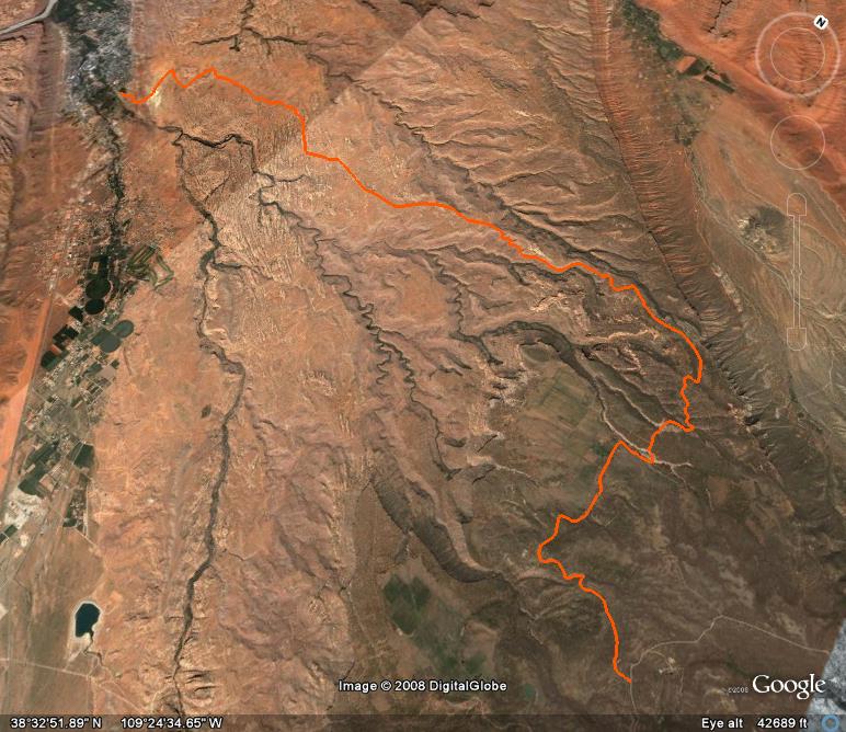
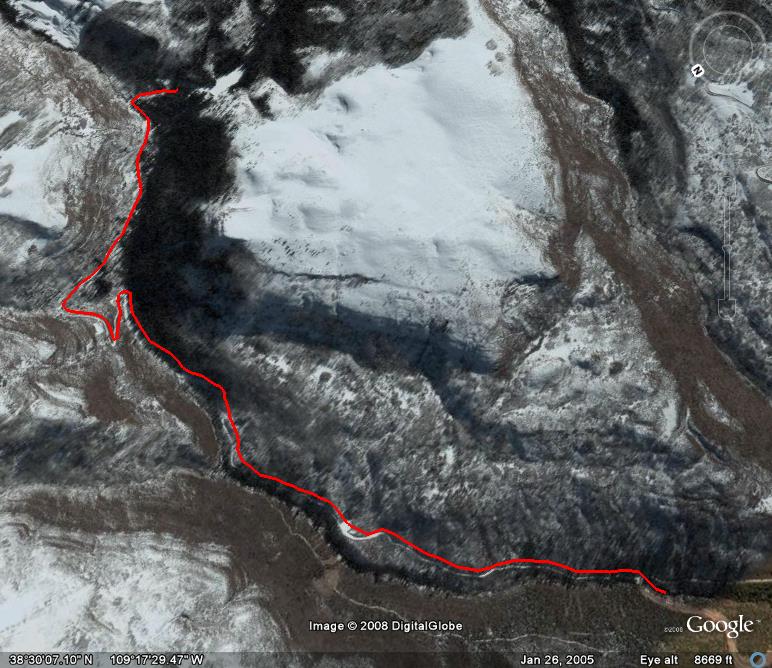
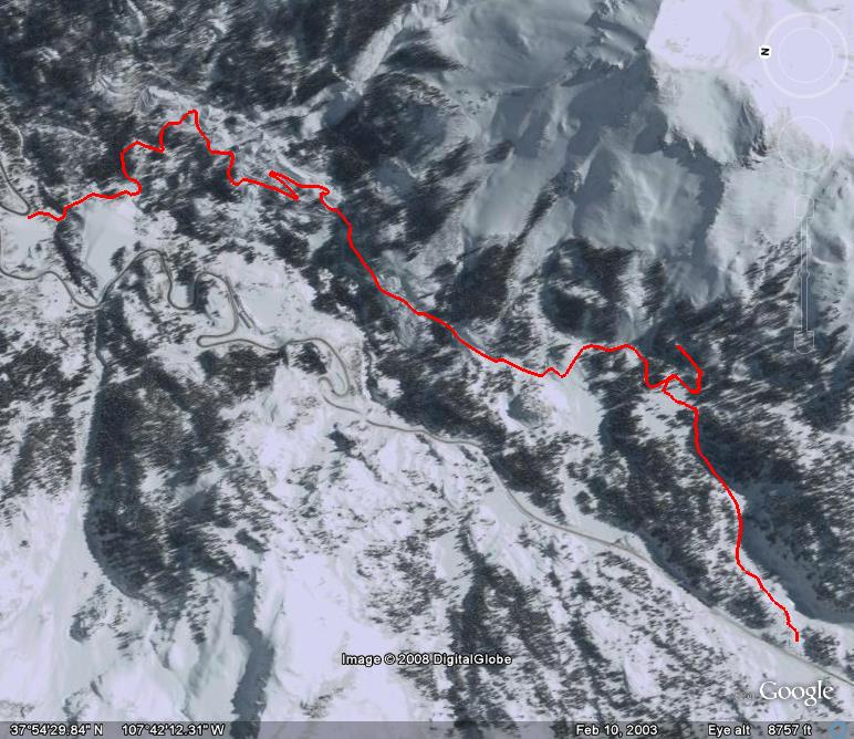
The Beaver Basin trail leaves the Castleton-Gateway Road on the northern side of the La Sal Mountains and then climbs up into a small alpine basin between two rugged peaks. Exploring this area during the summer months is a great way to beat the heat in Moab and check out an area not as popular and well travelled as some others in the area.
The lower portion of the trail is wide and graded and very easy. However, the higher you climb into the La Sals, the narrower and rockier the trail becomes. There are a few areas where passing another vehicle can be an issue and backing up a little ways might be required. Most stock 4×4’s with good ground clearance should have no problems navigating this trail.
As you climb into the La Sals there is a short spur trail that leads to Dons Lake, a small lake that offers some picturesque views with the La Sals in the background. Before the final stretch of trail to Beaver Basin, there are remnants of an old cabin on the left side of the trail. There are also a number of campsites that range from small and secluded to large group sites located along this trail. While Beaver Basin might seem to be a great place to camp at first, when I was there, there were a number of cattle grazing in the basin.
This trail is only open and passable only during the late summer through the fall months due to it’s elevation.
Please feel free to leave your comments and post your pictures from Beaver Basin below.
 Beaver Basin KML Track
(Right click and ‘Save Target As’)
Open file above in Google Earth.
1 comment | posted in Trails
Aug
20
2008
 Gemini Bridges (Moab, UT)
The Gemini Bridges road is an easy trail that not only leads you to the top of the Gemini Bridges but also leads you to a number of other trails in the area. This trail can also be used as an alternate off-highway route to and from Deadhorse State Park and Canyonlands National Park. Most of the trail is easy, but there is a pretty steep and rocky climb shortly after passing by Gooney Bird Rock.
The main focus of this route is a stop at the Gemini Bridges along the way. They are not very obvious right away because you are right on top of them. However, the short spur to the bridges is well marked and easy to follow. The spur to the bridges has a few ledges that might be problematic to lower vehicles, but there are plenty of places to park if you would like to hike to the bridges.
While you can walk across the bridges from this point, the best views of the Gemini Bridges are actually from below in Bull Canyon. The Bull Canyon trail is accessed from this trail, and so are a number of other trails including Metal Masher, Gold Bar Rim and Four Arches Canyon.
Please feel free to leave your comments and post your pictures from Gemini Bridges below.
 Gemini Bridges KML Track
(Right click and ‘Save Target As’)
Open file above in Google Earth.
1 comment | posted in Trails
Aug
19
2008
 Sand Flats Road (Moab, UT)
Sand Flats Road connects Mill Creek Road in Moab with the La Sal Mountain Loop road. This road travels the entire length of the Sand Flats Recreation Area and climbs up to the Manti-La-Sal National Forest.
This trail is graded and easy for it’s entire length when it is dry. It is used to access a number of trails in the area including Hell’s Revenge, Fins & Things, Porcupine Rim and the Slickrock bike trail. This road is also used to access a number of campsites located within the Sand Flats Recreation Area.
The scenery in this area is very unique with a number of slickrock formations and the La Sal Mountains in the distance. If you are looking for a little bit of a challenge, there is a section of the Kokopelli trail that takes off from the Sand Flats Road and heads up to the Loop Road that is a bit more difficult and offers great views into Castle Valley.
Please feel free to leave your comments and post your pictures from Sand Flats Road below.
 Sand Flats Road KML Track
(Right click and ‘Save Target As’)
Open file above in Google Earth.
Comments Off on Sand Flats Road | posted in Trails
Aug
19
2008
 Lake Oowah (Moab, UT)
Lake Oowah trail is a short spur off of the La Sal Mountain Loop Road. This trail is not difficult and is basically just an easy gravel road. The reason I am including this trail is because it leads to a very nice lake up in the La Sal Mountains near Moab and offers a few nice campsites near the lake.
The trail follows Mill Creek high into the mountains ending at Lake Oowah where there are a number of hiking trails and supposedly some good fishing, too. Heading up to the La Sals are a great way to beat the heat during the summer in Moab.
Please feel free to leave your comments and post your pictures from Lake Oowah below.
 Lake Oowah KML Track
(Right click and ‘Save Target As’)
Open file above in Google Earth.
Comments Off on Lake Oowah | posted in Trails
Aug
13
2008
 Red Mountain Mining District (Ouray, CO)
Over Independence Day weekend this year, I met up with Alex and we headed out to check out the Red Mountain Mining District. This is a short and easy trail very close to Highway 550 that takes you through an area that was actively mined for many years. It is very evident by all of the old mining structures you will pass along this route and can check out.
One of the most successful and famous silver mines in the area is located here; the Yankee Girl Mine. This route also takes you by the Cora Bell Mine, Genessee Mine, National Bell Mine and the Longfellow Mine. If you are interested in the mining history of the area and want to learn more, there is a book called Mountains of Silver by P. David Smith that I would highly recommend. I picked it up locally at a shop in Silverton.
There is more than just old mining structures along this route, there is also great scenery surrounding the trail including the Red Mountains towering above you. There are a number of spur trails that lead up some of the creeks and gulches to explore, and there are even a few meadows and lakes along the way. This is a very photogenic trail.
You can continue past the Red Mountain Mining District into US Basin and then on to Browns Gulch which will take you back towards Silverton if you want to extend your day. However when we got into US Basin, we were stopped by a downed tree and a large snow drift, so we had to turn around and head back to US 550.
Please feel free to leave your comments and post your pictures from the Red Mountain Mining District below.
 Red Mountain Mining District KML Track
(Right click and ‘Save Target As’)
Open file above in Google Earth.
Comments Off on Red Mountain Mining District | posted in Trails
![]() Beaver Basin KML Track
Beaver Basin KML Track


